Islands That Never Existed: The Phantom Maps That Fooled the World for Centuries
Discover the fascinating history of phantom islands — places that appeared on official maps for centuries yet never existed. Explore how and why. Read more.
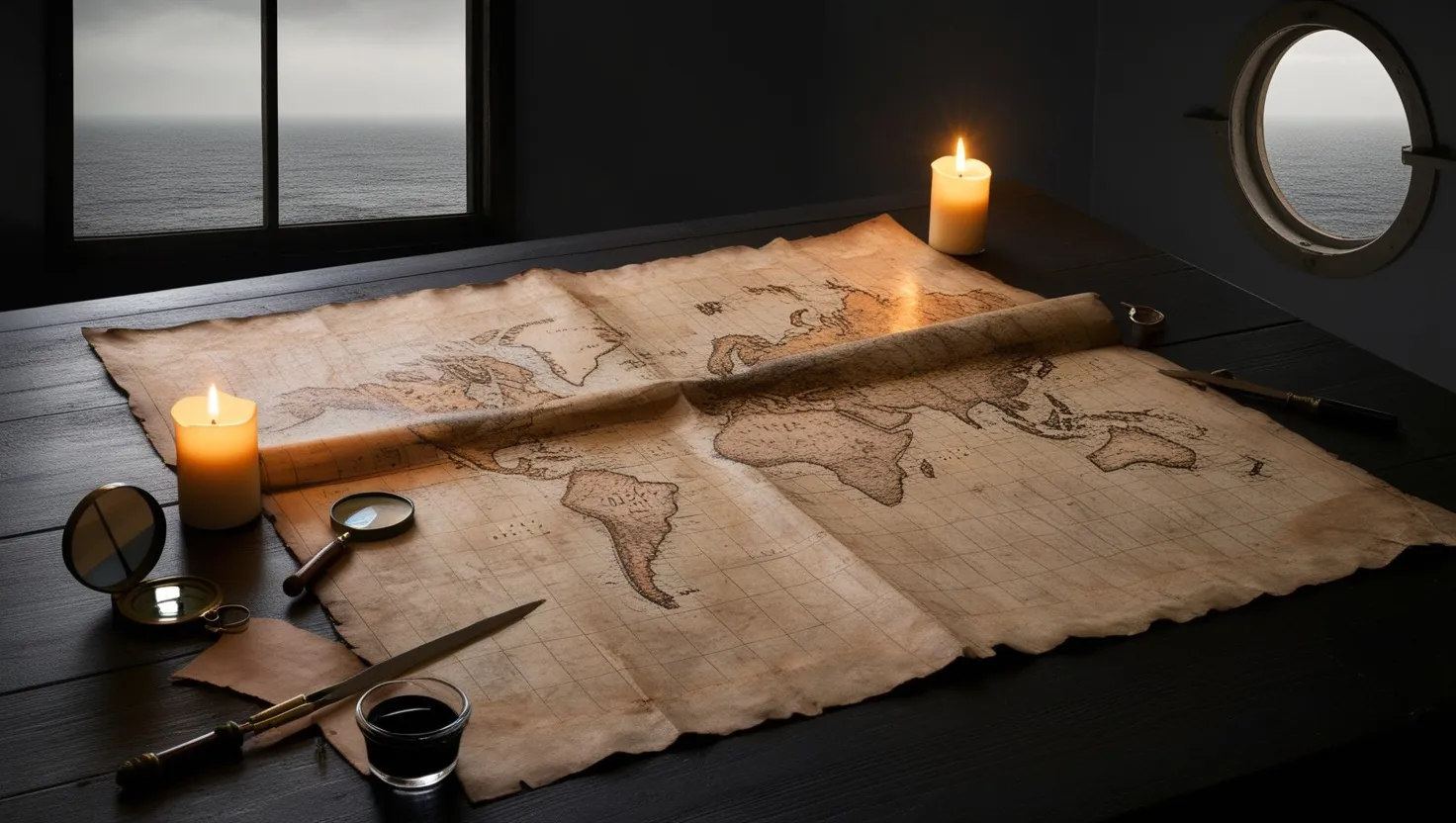
There is something deeply unsettling about a map that lies to you. Not a map that exaggerates a coastline or gets a river slightly wrong — but a map that sends you confidently toward an island that simply does not exist. Sailors have drowned chasing these places. Governments have claimed them. Wars have nearly started over them. And yet, when ships finally arrived at the coordinates, there was nothing. Just open water, horizon to horizon.
Phantom islands are not a quirk of ancient ignorance. Some appeared on charts well into the twentieth century. One was only erased from official maps in 2012. These were not fairy tales told around fires — they were printed in atlases, referenced in legal documents, and treated as real geography by very serious people.
So how does an island appear on a map? And more puzzlingly — how does one disappear?
Let’s start with the most elaborately fictional island kingdom ever to make it onto paper. Frisland occupied a significant chunk of the North Atlantic on maps produced by the Zeno family in Venice during the 1550s. It wasn’t just a dot on a chart — it had cities, a coastline, internal geography, and a name that carried political weight. The Zenos claimed their ancestor had visited it in the 1390s, sailing through northern waters on a grand expedition.
Other cartographers, including the great Gerardus Mercator, accepted it without question and placed Frisland on their own maps. For nearly two centuries, navigators tried to account for it when plotting Atlantic routes. The problem was that no one could ever actually land there. Expeditions passed through the region and found nothing. The coordinates were wrong. The island was a fantasy assembled, most historians now believe, from misread accounts of Iceland and the Faroe Islands, stitched together with genuine-sounding detail to make the Zeno family look like pioneering explorers.
What makes Frisland fascinating is how it survived on maps for so long not because people kept finding it, but because no one in authority had the motivation to declare it gone. Removing an island from a map meant admitting a mistake. And in the sixteenth century, cartographic prestige was political currency.
“A map is not the territory it represents, but, if correct, it has a similar structure to the territory.” — Alfred Korzybski
Ask yourself this: if an island appeared on every authoritative map you had ever seen, would you really trust your own empty horizon over the printed word?
Hy-Brasil operated differently. It was not placed on maps by mistake — it was placed there on purpose, as a record of what people genuinely believed existed off the west coast of Ireland. The island appeared on charts from 1325 onward, always circular, always bisected by a single channel, always sitting about 200 miles west of Galway. Irish mythology described it as a paradise hidden by mist, visible only once every seven years. Several sailors claimed to have reached it. One 1674 account by Captain John Nisbet described landing there and meeting an old man who gave his crew gold.
The name itself has caused centuries of argument. Some connect it to the Portuguese word for red dye — brasil — which predates the South American country of Brazil. Others link it to the Celtic word for “blessed” or “fortunate.” The island was removed from British admiralty charts only in 1865, which means official British naval navigation was accounting for a mythological island well into the Victorian era.
What is strange about Hy-Brasil is that the descriptions of it are oddly consistent across centuries and across people who had no contact with each other. Modern researchers have suggested the island may be a folk memory of Porcupine Bank, an underwater plateau west of Ireland that can behave oddly in certain sea conditions, creating visual disturbances at the surface. Others think it traces back to volcanic activity that briefly raised land above the waves, long before written history.
Could a place be real, vanish, and then live on in memory long enough to become legend? The ocean has certainly allowed for stranger things.
Sandy Island sits at the other end of the timeline. It appeared on charts of the Coral Sea, between Australia and New Caledonia, and stayed there for over a century. It showed up in the Times Atlas of the World. It appeared on Google Maps and Google Earth. It had a name, a shape, and a location: 19.2°S, 159.9°E.
In November 2012, a research vessel called the Southern Surveyor sailed directly to those coordinates on a routine scientific expedition. Instead of island, they found 1,400 meters of open water. The seafloor below them showed no sign that land had ever existed there. The island that appeared on satellite imaging software used by millions of people was completely, absolutely not there.
The probable origin of Sandy Island traces back to a whaling ship in the late 1800s that logged a sighting and gave it a name. That log entry made it into charts. Those charts got copied. The copy got digitized. The digital version got integrated into modern mapping databases. Nobody physically checked. The island survived for over a hundred years entirely on the momentum of being written down once.
“We are all cartographers. We make maps of our known world and treat them as if they are the world itself.” — Rebecca Solnit
This is the part that should make you a little uncomfortable: the methods we use to confirm reality are only as reliable as the last person who actually looked.
Now consider Antillia, the Island of Seven Cities, which appeared on European maps throughout the 1400s and was considered so real that Portuguese law made provisions for ships that might accidentally land there. The legend attached to it held that seven bishops had fled Iberia during the Moorish invasion in 711 CE and sailed west, founding seven Christian cities on an island in the Atlantic. It served as a kind of spiritual holding ground — civilization preserved beyond the edge of the known world.
When Columbus set out in 1492, he reportedly expected to use Antillia as a waypoint. Some historians argue that the widespread belief in western Atlantic islands made his expedition easier to fund — not because the islands were mythological, but because they were on the maps. Antillia gave institutional credibility to the idea that something lay west of Europe. In a perverse way, a phantom island may have contributed to the European discovery of the Americas.
What is remarkable about phantom islands as a category is how many of them clustered in the same emotional geography. They were places of refuge, paradise, mystery, or danger. Sailors didn’t just stumble across them — they wanted them to be there. The maps were partly reflecting hope.
“The most important thing about a map is not what it shows, but what it leaves out.” — Mark Monmonier
Think about Bermeja, a small island that appeared on Mexican maps of the Gulf of Mexico from the 1500s right through to the late twentieth century. Mexico used it to establish maritime boundaries and negotiate oil rights with the United States. In 2009, a Mexican congressional investigation launched a search for it. Ships went out. Satellites swept the area. No island. A congressional debate erupted over whether the CIA had somehow destroyed or submerged the island to shift the maritime boundary in America’s favor. The theory was absurd, but it tells you something important: when a phantom island disappears, people search for conspiracies before they accept cartographic error.
There is also Saxemberg, supposedly spotted multiple times in the South Atlantic between 1670 and the mid-1800s. Different ships, different nationalities, different centuries — all claimed to see it. The sightings were too numerous and too consistent to dismiss easily. Some researchers now believe Saxemberg was a misidentification of Tristan da Cunha, spotted from unusual angles in strange light. Others think the reports were honest observations of something that no longer exists.
The Atlantic floor is not as stable as it looks on a map. Volcanic islands rise and sink. Landmasses erode. Sea levels have changed dramatically over geological time. There is genuine scientific possibility that some phantom islands were real, simply in the wrong century.
“To be lost is to be fully present, and to be fully present is to be capable of being in uncertainty.” — Rebecca Solnit
Every one of these islands asks the same question: how much of what we call knowledge is just agreement between people who never personally checked? Frisland stayed on maps because respected cartographers trusted each other. Sandy Island survived because nobody sailed to the coordinates. Bermeja underpinned international law because Mexico’s maps said it was there.
Maps are not truth. They are the best guess of whoever drew them, filtered through whoever copied them, passed down to people who had every reason to believe and no immediate reason to look. The ocean doesn’t care what your chart says. It was always just water.