Ancient Maps Unveiled: 7 Cartographic Mysteries That Challenge History
Discover the mysteries of ancient maps that challenge our understanding of historical exploration. Explore enigmatic charts revealing surprising geographical knowledge. Learn more!
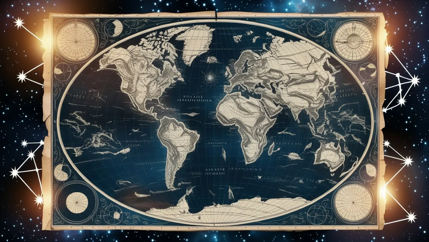
In the realm of cartography, there exist several ancient maps that defy the conventional understanding of historical exploration and geographical knowledge. These enigmatic charts, crafted by hands long gone, hold secrets and mysteries that continue to intrigue and challenge modern scholars.
One of the most fascinating examples is the Piri Reis Map, created in the early 16th century. This map is remarkable not just for its age, but for its astonishingly accurate depiction of Antarctica, a continent that was not officially discovered until the 19th century. The map shows Antarctica without its ice caps, a feature that has puzzled scientists since the map’s discovery. Today, 97.6% of Antarctica is covered in ice, a condition that has persisted for over a million years. How could Piri Reis, or his sources, have known this? The accuracy of the map extends to its topographical details, matching modern maps with eerie precision. This has led some to speculate about the involvement of advanced civilizations or unknown sources of knowledge.
Another map that challenges our understanding of historical exploration is the one attributed to Zheng He, the renowned Chinese admiral. The 1418 Map, considered one of the oldest and most important Ming world maps, suggests that Zheng He’s fleets may have circumnavigated the globe, visiting every continent, ocean, island, and river depicted on the map. This contradicts the traditional Western view that Chinese explorers ceased their global voyages in the 15th century. The map’s authenticity is supported by notes and descriptions that match accounts from ancient Chinese texts. It implies a level of geographical knowledge and seafaring prowess that was previously underestimated.
The Buache Map of 1739 is another cartographic anomaly that has sparked intense debate. This map is notable for its supposed depiction of Antarctica’s subglacial topography, showing the solid landmass beneath the ice. However, a closer examination reveals that Buache’s annotations are more cautious, labeling some features as “conjecture” and describing icebergs and the ice cap. Despite this, the map remains a testament to the concerted efforts of European sailors to explore and map the Antarctic regions in the 18th century. It highlights the gradual accumulation of knowledge over time, rather than a sudden revelation from an ancient civilization.
Oronce Fine’s map, created in the 16th century, presents another intriguing case. Fine’s map shows Antarctica as an ice-free continent, a depiction that aligns with some of the theories surrounding the Piri Reis Map. This raises questions about the sources of Fine’s knowledge and whether there was a shared understanding among ancient cartographers about the true nature of Antarctica. The map’s accuracy in other regions adds to the mystery, suggesting that Fine had access to information that was not widely available during his time.
Ibn al-Wardi’s world map from the 1300s is another example of ancient cartographic precision. While not as widely known as some of the other maps, Ibn al-Wardi’s work demonstrates a remarkable understanding of global geography. His map includes accurate depictions of various regions, including Africa and Asia, which were not commonly mapped with such detail during the medieval period. This map underscores the advanced geographical knowledge of medieval scholars and challenges the notion that accurate world maps were a product of later European explorations.
Lastly, there is Ptolemy’s world map, a work from the 2nd century AD that is surprisingly precise given its age. Ptolemy’s map was based on his own calculations and the reports of travelers and traders. Despite its limitations, the map shows a remarkable understanding of the world’s geography, including the placement of continents and major landmarks. Ptolemy’s work was influential for centuries, serving as a foundation for later cartographers. However, it also raises questions about the sources of his knowledge and how such accuracy was achieved so early in the history of cartography.
These ancient maps collectively paint a picture of a world where geographical knowledge was more advanced and widespread than traditionally believed. They suggest that ancient seafarers and cartographers had access to information that allowed them to create maps that were remarkably accurate, even by modern standards.
Theories about lost civilizations and advanced geographical knowledge abound when discussing these maps. Some speculate that these maps could be evidence of ancient civilizations that possessed knowledge and capabilities beyond what we currently understand. Others propose that these maps are the result of cumulative knowledge gathered over centuries, passed down through various cultures and civilizations.
The implications of these maps are profound. They challenge our conventional timeline of exploration and discovery, suggesting that the history of cartography is more complex and multifaceted than previously thought. They also highlight the ingenuity and skill of ancient cartographers, who were able to create detailed and accurate maps without the benefit of modern technology.
In the end, these enigmatic ancient maps serve as a reminder of the vast and untapped knowledge of our past. They invite us to reconsider our understanding of historical exploration and the capabilities of our ancestors. As we continue to study and interpret these maps, we may uncover even more secrets about the world and its history, revealing a narrative that is both fascinating and complex.