Featured Alien Seeds: Did Space Microbes Kickstart Life on Earth?
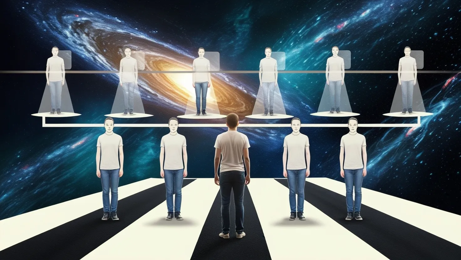
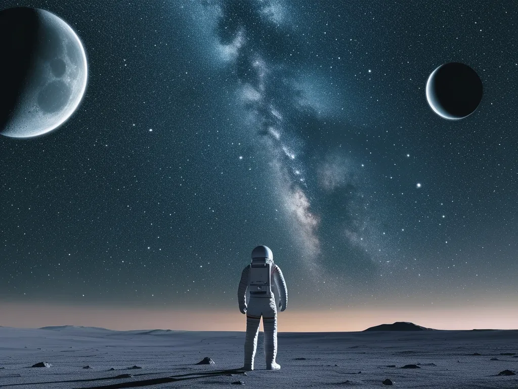
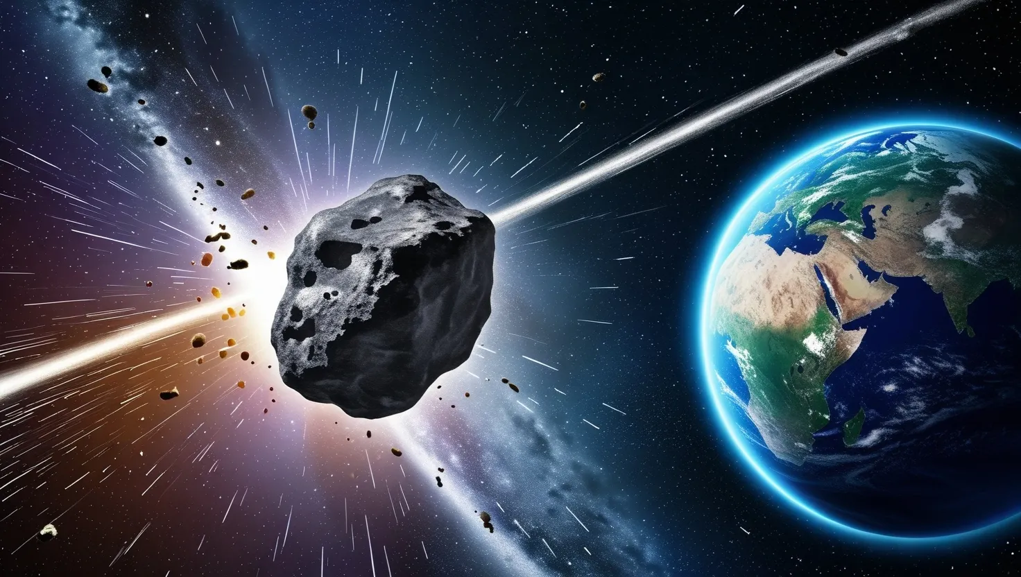
Panspermia theory suggests life on Earth originated from space. Microorganisms or life's chemical precursors may travel on comets or asteroids, seeding planets. Various forms exist, including lithopanspermia and directed panspermia. Evidence includes bacteria surviving in space and organic molecules in meteorites. While intriguing, panspermia raises questions about extraterrestrial life and challenges traditional views on Earth's life origins.
Read article